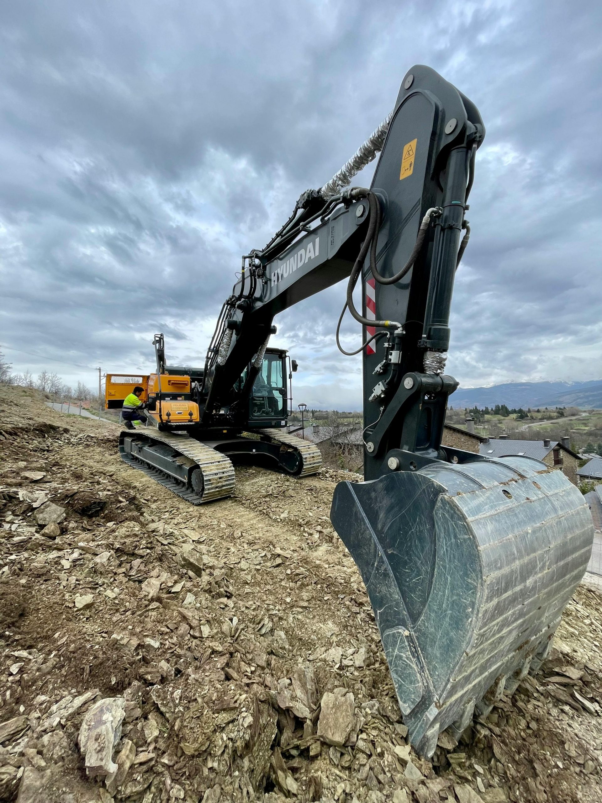
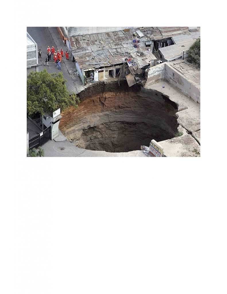
Great Lakes Geoscience is ready to assist you in construction and land use planning projects where our in-house expertise may be required. For projects where bedrock is near to the surface our consultants will identify and map potential karst horizons and complete a geohazard risk assessment for bedrock stability and the potential for underlying potable water aquifers. With our unique experience we will evaluate the potential impact of active and/or abandoned oil, natural gas and water wells in the site proximity and provide strategies to mitigate these risks. We offer complete Phase 1 and Phase 2 environmental assessments and the filing of the record of site condition (RSC) with the Environmental Site Registry.


