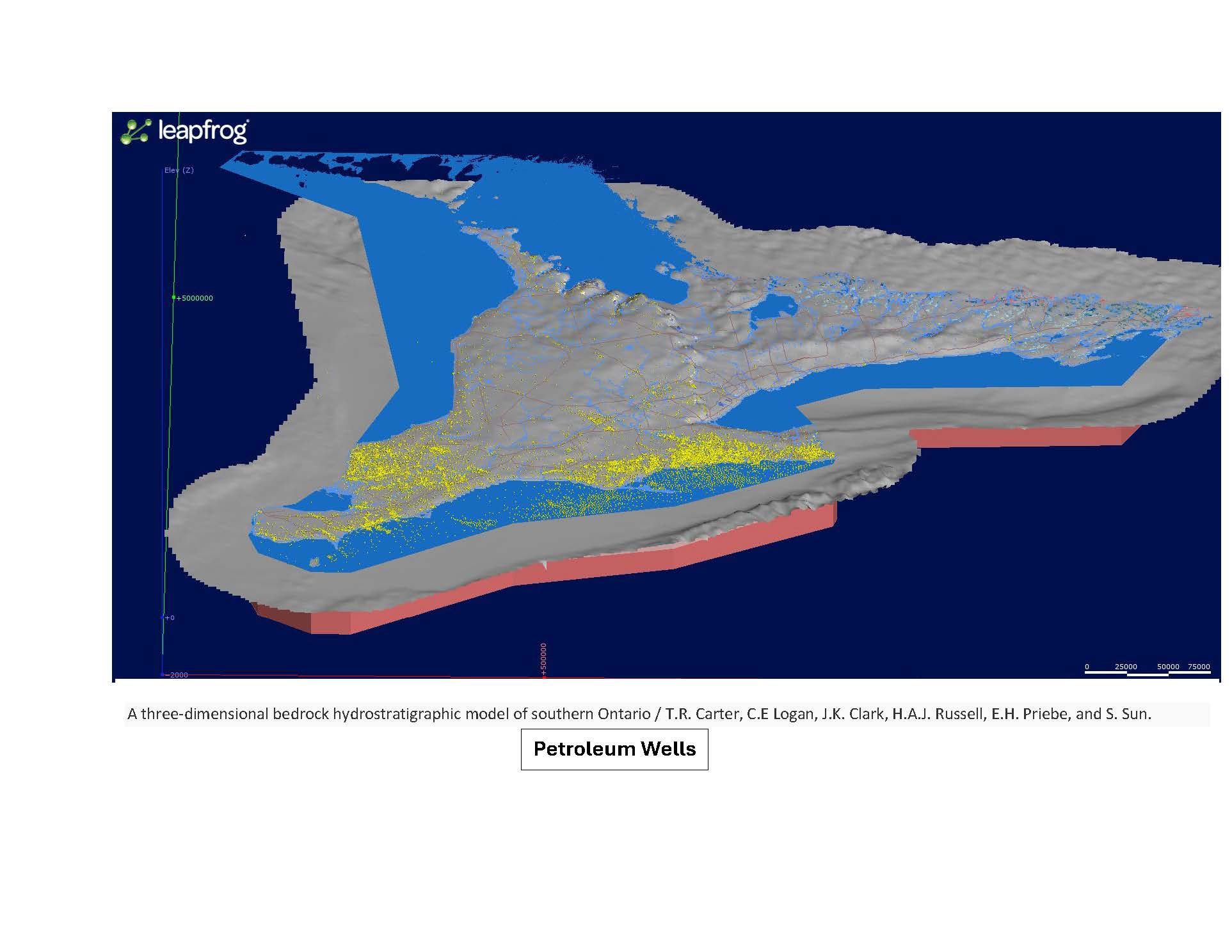
Great Lakes Geoscience Ltd. has an advanced proprietary GIS mapping system using a dataset of over 26,000 deep geological boreholes situated in the sedimentary basins of Ontario. In addition, Great Lakes can assimilate over 160,000 water-well records and geotechnical boreholes, if required that may offer critical bedrock and aquifer information on a more local detailed scale. The mapping is conducted using various GIS mapping systems and Great Lakes can complete detailed investigations on all subsurface geological formations in Ontario from the Middle-Devonian to the Precambrian basement. Great Lakes Geoscience has access to a broad range of geophysical databases that may compliment the geological mapping and interpretations.
Studies may include 3D structure imaging of all formations of interest and mapping of formation thickness variations, areas of sub-cropping and depth of bedrock below surface. From a natural resource perspective we can highlight areas of oil and natural gas potential, map subsurface salt thicknesses and extent, define sources of high-demand subsurface brine deposits (use in dust and ice control), outline high purity limestone for building materials and map the location of potable water supplies (bedrock aquifers). The Great Lakes team has particular in-house expertise in all matters related to abandoned oil, natural gas and water wells and infrastructure.

